
 I’m a firm believer in Heaven on earth and that it’s unique for everyone. My version of Heaven varies, but today it’s the lush, verdant Columbia River Gorge just east of Portland, Oregon, and its many dramatic waterfalls. Take a hike there above Latourell Falls on a late spring/early summer day when Cascade snowmelt peaks and I bet you’d agree.
Probably it’s my slice of Heaven because I grew up on the Gorge’s western edge and roamed there frequently as a girl. But a drive along the Historic Columbia River Highway and a hike in this misty land of green forests, moss-covered basalt cliffs, and streaming water always leaves me refreshed. Call me Gorge Girl.
The Drive
Like a homing pigeon, on a recent weekend I drive south up the more narrow but still lush Sandy River Gorge from Troutdale, then angle northeast up along bucolic fields through Springdale and Corbett, and past Chanticleer Point (where everyone must stop for the magnificent view upriver) to catch the old highway east.

I always watch carefully for roadside deals at the small farms along the road up to Corbett. Today I grab an extravagant bouquet of plump purple lilacs for only $5, less than half the cost you’d pay at farmer’s markets in Seattle or Portland.
After driving cautiously down the first narrow switchbacks of the old highway around a few blind turns, I stop briefly at the Crown Point Vista House perched 733 feet above the Columbia on a massive basalt outcrop. This lovely, German-style Art Nouveau stone structure dates from the early days of the highway as a rest stop/viewpoint (it opened in 1918), and it still draws many visitors for the same reason.

The Hike
Sure, there are longer and more challenging hikes in the Gorge, but 224-foot Latourell Falls, the first waterfall along the highway east past Crown Point, is a beautiful introduction to the Gorge trails. At a little over 2 miles, with ups and downs totaling close to 1,000 feet in elevation gain/loss, it’s a decent workout.
I start out at the trailhead just east of the bridge over Latourell Creek in Guy W. Talbot Park. It’s a short hike up a paved trail to a nice viewpoint of the waterfall, but continue up the dirt trail to the left.

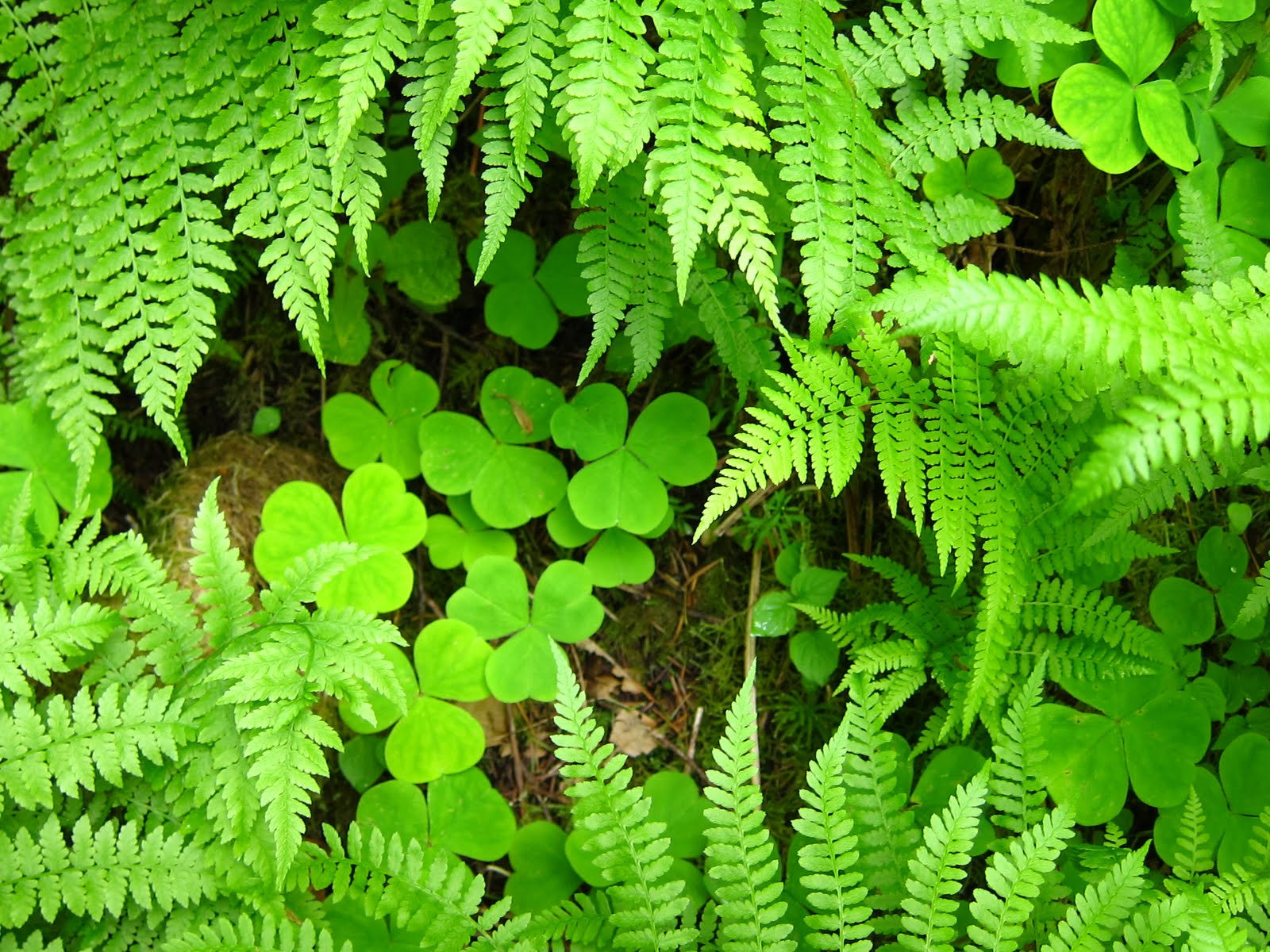
The trail rises gently and switchbacks up through the dense mixed deciduous-evergreen forest, passing a profusion of moisture-loving plants like maidenhair ferns, trilliums, wood sorrel, and bleeding hearts. Numerous species of native plants unique to the Gorge are not found anywhere else in the world.


Within a half mile or more the trail tops out and then drops down a bit to Latourell Creek above the falls. Today the falls and stream are rushing thick and fast with springtime abundance. I continue on, passing over a few small footbridges over side streams until I hear the roar and feel the mist of Upper Latourell Falls before I see it.


Upper Latourell Falls is almost as dramatic as the lower fall, and hikers can get closer to the base of the falls on another wooden bridge. The columnar basalt is strikingly visible here in angled vertical columns of dark wet rock. As a girl I strayed beyond the bridge closer to the base of the waterfalls, but with slick rocks, it’s not really a good idea.


Since I’m running late to meet friends, I need to pick up the pace on the way back. As I pass above the lower waterfall, in haste I miss a junction and end up at a narrow finger of rock that lies not far above where the waterfall plunges over 200 feet to the creek below. This spot is crossed by a cable to keep people away, but today the cable is lying on the ground and easy to miss. When I get close to the edge and realize where I am, vertigo hits and I have to step back. Be very careful up here! But the view is good up the Columbia River.

As the trail leaves the creek and waterfalls and travels west a bit before dropping back to the highway, the forest understory becomes a bit drier and has less of a rainforest feel. Here in the Gorge you pass through several microclimates, depending on how close you are to a waterfall.
I reach the highway and walk across the historic Latourell Creek bridge back to my car, although the trail continues down below the bridge along the creek far below. As usual after hiking in the Gorge I feel energized and especially alive despite the sweat-inducing exercise. There’s just something magical about the abundant and thriving plant life and coursing streams here. Like I said, it's heavenly.
When You Go

Right now is a great time to go drive, bicycle, or hike past the waterfalls since there’s so much water in our streams and rivers this year. Here’s a map of the western Gorge waterfalls. There isn’t a sign indicating the hike distance at the trailhead where I started, so I couldn’t remember if I would be hiking for a mile or two or more. I recommend sturdy trail shoes since the trail is pretty rocky and damp in places. You can also get to Latourell and the other waterfalls more quickly off Interstate 84 along the Columbia River.


5 comments:
The Gorge and the waterfalls are my favorite thing about Oregon, hands down. And the gateway, Troutdale, has improved from dumpy little place to cute little shops and restaurants.
Jill, how fun to read your blog on the Old Columbia Hwy.
I visited mom last weekend and was drawn to the old Hwy for the same reasons you posted. The drive takes me back to my childhood. Of course I didn't get to hike anywhere but I'm going to make that a goal for one of my Pltd outings.
Anne, ah yes, Troutdale has improved dramatically!
Janis, thanks! So glad you got up the Gorge recently, too.
Latourell Falls is one of my favorite places. I wonder if Janis and Kelli remember going there with me for my 15th birthday?
Must sneak in a littlt gorge hike in July!
Yes, this is indeed a nice trip. I have come from the reverse direction(east to west) which is also interesting. DB
Post a Comment