Showing posts with label Environmental stuff. Show all posts

Tuesday, June 10, 2025

Low Tide Gifts from the Sea


Every year around the summer solstice, we see the lowest tides of the year along Salish Sea/Puget Sound shorelines. While there are almost as low tides in December, wouldn't you rather explore the beach in June too?

You'll find me out there clutching my camera(s), roaming the beaches near my home. I'm fortunate that there is a great beach for exploring only a 10-minute drive away. Volunteer naturalists from places like the Seattle Aquarium are out there to answer questions and point things out.

It's a beach party.


About a dozen years ago, a wasting disease gutted the sea star population along the West Coast of North America (I'm not sure about elsewhere). So I've been thrilled the last few years to see so many healthy sea stars, which I grew up calling starfish.

Ochre sea stars, crimson red sea cucumbers lurking below to the right. 

Last year I spotted a now-rare sunflower sea star that looked healthy, which was a find. Sea star wasting disease killed more than 90% of the sunflower sea stars, according to the National Oceanic and Atmospheric Association.

Sunflower sea star, partially in shadow.

Knowing parking would be difficult near the time of the lowest tide, I came about an hour early and parked at the lot halfway up the hill and walked down, two cameras and my smartphone in hand. After about a 15-minute walk down to Golden Gardens Park in north Seattle, I finally got to the beach and bee-lined towards water's edge.


I stepped carefully, trying to avoid the rich eelgrass habitat and inadvertently stepping on livings things like anemones, crabs, sea stars, or other tidelands life.


“When the tide is out, the table is set” is a familiar saying among Native communities on the Northwest Coast. They developed traditional ecological knowledge that was passed down for generations about intertidal marine resources. I thought of this when I passed a crow jumping around, looking for a meal. And when a squirt of water from a clam burrowed beneath the sand hits me.

Big, flat expanses of exposed sandy beach don't provide the best low tide beachcombing. Instead, I headed to the north beach, where there are more boulders, with sea stars, anemones, sea cucumbers, and such clinging to the large barnacle-encrusted rocks.


So many rich colors, shapes, and textures! I'm no naturalist, but I do wonder how their coloring has evolved.

While I roamed quickly during the relatively short low tide window, trying to see as much as possible, chatting with others, calling out when we spot a juicy find, I considered a different path I might have taken in marine biology. But I didn't consider it for long, as I lacked the patience required for scientific methodology in most of my science classes.

Mostly, when I'm out there at our lowest tides, I'm just excited to spot weird, wonderful, and colorful flora and fauna.

How about you? Have you done much low tide exploring here, or anywhere?

Happy trails and thanks for visiting Pacific Northwest Seasons! In between blog posts, visit Pacific NW Seasons on FaceBookTwitter, and Instagram for more Northwest photos and outdoors news. 


Monday, May 10, 2021

Mourning the Loss of a Secret Garden


Last spring when I started walking more around my corner of northwest Seattle, I first noticed the sign in front of a lush wooded lot: 

"Notice of Proposed Land Use Action."

I've seen a lot of these signs around Seattle the last few years, as the city rezones single-family residential areas to allow multi-story, multi-family buildings. With our shortage of housing and the City's push to increase density, many homes with spacious, landscaped yards are being demolished and scraped bare to make room for big boxes.

This particular sign showed the whole south end of the block being torn down (three homes) and replaced with a multi-story building extending to the proposed sidewalk. There wasn't a tree in sight on the proposed development sketch.

My stomach churned in dismay at the impending loss of the gorgeously landscaped lot on one corner, where a charming small house with a Japanese flair sat surrounded by a variety of beautiful, vigorous trees and happy, healthy shrubs like rhododendron and Oregon grape.


With the pandemic lockdown, the plans hit pause, and I often walked past that home with an increasing appreciation for the time and care the owners took cultivating such a sweet woodland in a built-out neighborhood.


And so a year passed, with many trips walking past this treasure, and nothing happened.

Within the last few months, however, the sign finally came down and the house started to look uninhabited. A few plants and trees started to disappear, and the yard began to look less than its meticulously cared for best. 

A few weeks ago, after staying away for a few days, when I returned and saw the devastation, I was shocked. The huge laurel hedge and house at the west side of the block were demolished into a scorched earth war-like zone of dirt, jagged pieces of wood, and smashed bricks. The little Japanese house was also gone, with just a pile of rubble remaining.

But the woodland out front remained intact, for the moment. With the house gone, my walking partner and I scrambled over the bank and into an enchanted glen of native plants, shrubs, and lovely mixed trees.


I stepped into what felt like a secret garden, with native wood sorrel and delicate purple woodland violets scattered around carefully placed stones and the base of trees.

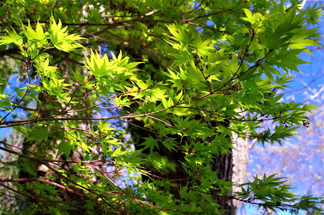
This little glen felt surprisingly private and rich, just across the street from a playfield. With sun filtering through the newly leafed out Japanese maples and evergreens, I breathed in the rich scent of mature forest.


My friend Lynette brought her clippers, and got some greenery for the beautiful wreaths she makes. I came back a day later (they weren't working the weekend there) with a few pots and trowel and dug up some wood sorrel and violets to take home, to spare them the crush of the tractors.

Before I stepped inside the glen, I paused and watched a hummingbird hovering and flitting around in there. As I stood in the glen, I found myself touching the trees, calling each one sister. It pained me to see such spring brilliance, with fresh shoots coming out of the evergreens, Japanese maple leaves unfurling, and lovely blossoms, knowing very soon their lives would be destroyed.


It brought back sorrowful feelings of a few months earlier, when I made the appointment for a vet to come to my home to put my Tashi cat to rest, although in that instance we were ending her suffering from end-stage kidney failure. She didn't know the fate that was soon to befall her.  In this instance, these trees were healthy and vibrant with the promise of spring, likely not cognizant of their impending demise.


I was dreading walking by and seeing all this gone, but each day for a week the glen remained intact. Maybe the developers saw the value in retaining these mature trees and a well-tended landscape; perhaps they would keep them as an asset to work into their development plans.

The next Monday I got a text from Lynette, telling me they had taken our garden. While I thought I couldn't bear to see it, I made myself walk over there to record what I saw, which was pretty darn sad. It made me feel numb.


I snapped a few shots and walked away. I haven't looked at it since. Fred, who tends the community garden across the street, said they found empty bird nests amidst the trashed landscape. No one in the neighborhood is happy about it.

I do realize the irony of this European American, whose nearby home sits on what was lush forest land not much more than a century ago, bemoaning the loss of a mid-20th century garden. My ancestors came to this area over 150 years ago and were likely involved in the massive destruction/filling of the tidal estuary between West Seattle and present-day downtown.

But still, trees are important for the health of our climate, our birds, our wildlife, and, yes, people. The City of Seattle has some tree protection ordinances, but nothing that would have saved this little lot. 

I think it's a shame. 

Shame on the City for not providing more oversight and regulations to save a wonderful woodland, however small, that provided valuable habitat for birds and such. Shame on the developers for not adjusting their plans, for not sacrificing a little $$ for the sake of saving a restorative woodland that would have been wonderful for the new residents and important for the birds who nested there. Shame on us all for allowing the continued loss of green space and trees in our city and region.

Happy trails and thanks for visiting Pacific Northwest Seasons! In between blog posts, visit Pacific NW Seasons on FaceBookTwitter, and Instagram for more Northwest photos and outdoors news. 


Wednesday, September 6, 2017

2017 Columbia River Gorge Fire: Grief and Hope


As I write this, the Eagle Creek Fire is still burning and growing in the Columbia River Gorge, threatening towns in eastern Multnomah County, Oregon.

In just one night, it engulfed some of the most unique and verdant landscapes on the planet in a maelstrom of exploding trees and racing flames, fanned by the Gorge's famous East Wind. A friend watched a whole mountainside go up in flames in about one minute.

It's too early and I've yet to see it, so I still can't quite conceive of what has happened. Has this sacred, nourishing, touchstone place for me, where I return as often as possible, been irrevocably changed, denuded, and altered forever (at least in my lifetime)?

This I can't yet comprehend.


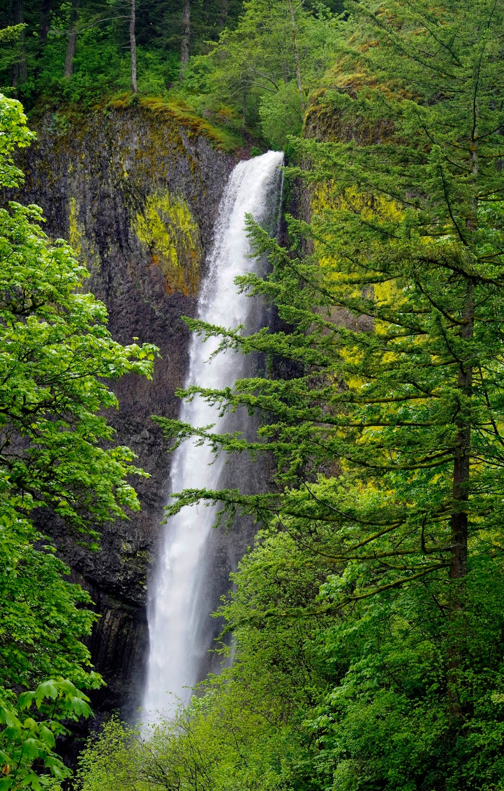
Gorge lushness
 As a post on the Friends of the Columbia River Gorge FaceBook page said,   "We're hoping for the best, but fearing for the worst."

The Vista House on Crown Point. Still standing.


I'm having a hard time putting into words how important the Gorge has been to me throughout my life. It is, as they say, in my bones.

When I was three my family moved to the Troutdale area, where our home was just a few miles from the basalt cliffs across the Sandy River that mark the western entrance to the Gorge. I grew up there learning to love nature, waterfalls, and walking in the woods.

On warm summer nights, my mom would pack a picnic dinner and we'd head up to enjoy the particular refreshing cool in the woods near one of the waterfalls. We often had Oneonta Gorge to ourselvesonce my dad featured a shot of my sister and I there on the front page of his newspaper, calling us "woodland sprites" in the caption. (We got teased for that.)

Below Larch Mountain

As a teenager I started hiking/backpacking in earnest and explored the Gorge's trails more extensively.  Maybe it's because I was 17 and all my senses were heightened, but one great backpack trip stands out: 

Towards the end our hike from Mt. Hood down to the Gorge, I vividly remember the soft, forgiving earth underfoot and the richness of the forest as we descended switchbacks nearing Eagle Creek, singing silly trail songs. (Because back then there were no other hikers around to annoy.) To wash away some of the week's grime, we jumped into a pond in the upper creek. Decades later I can still almost feel the bracing, exhilarating chill from jumping into the icy cold water that left my skin tingling afterwards. When we arrived at the Eagle Creek trailhead, our parents had spread out a picnic for us, which we devoured after a week of Top ramen, dried salami, and homemade gorp. Fantastic memories!


Throughout my life the Gorge has been a place of refuge, a soothing balm for my soul. I’m a firm believer that Heaven is here on Earth and that it’s unique for everyone. My version encompasses the verdant western Gorge and its many trails.

At one of my happy places
 After hiking there I feel energized and especially alive. There’s something magical and life-affirming about the abundant and thriving plant life, coursing streams, and cascading falls.

I heard there are pockets of trees spared, and yes, there will be regrowth. But it will take time. A long time. And who knows how climate change will affect the ability of such a unique botanical treasure to return to its former fecund glory.

Lower Multnomah Fall. The cedar to the right appears to have survived the fire
So allow me, us, to grieve while we also carry hope that enough was spared from the flames to allow a quick natural regeneration and healing of the unique collection of ecosystems in the Gorge.


Remnant snags from an early 1990s fire atop Angel's Rest

Eagle Creek, Punchbowl Falls
Bicyclist on the historic Columbia River Highway just below Crown Point
Thanks for "listening." I'd love to hear what the Gorge has meant to you and your experiences there in a comment below.

Happy trails and thanks for visiting Pacific Northwest Seasons! In between blog posts, visit Pacific NW Seasons on FaceBook, Twitter, and Instagram for more Northwest photos and outdoors news.


.

Monday, January 23, 2017

Hiking the Puget Lowlands: Port Gamble Forest


Since I wrote this blog post, I returned a year later to hike here again and discovered that much of these trails I hiked had sadly been clearcut. This was apparently part of the terms of the land being secured for future protection from development. However, the former owner got what $$ they could from the timber before releasing the land. It wasn't pretty. :(

While our mountain trails are famously popular here in the Pacific Northwest, there's not much left of our lowland forests in the Puget Sound region for hiking and recreation. Heavy logging, population growth, and ensuing development have taken their toll.

A few weeks ago on my way home to Seattle from Port Townsend, Washington, I noticed a trailhead just south of Port Gamble on the Kitsap Peninsula, tucked between Hood Canal and Port Gamble Bay. How had I missed this on my many trips to the Olympic Peninsula?

So I stopped to check it out. My curiosity was piqued by a notice at the trailhead about a campaign to save this lowland forest from being sold to developers.

Two weeks later with a couple mates in tow, I tramped through the Port Gamble Forest on a chilly but mostly rain-free January day.


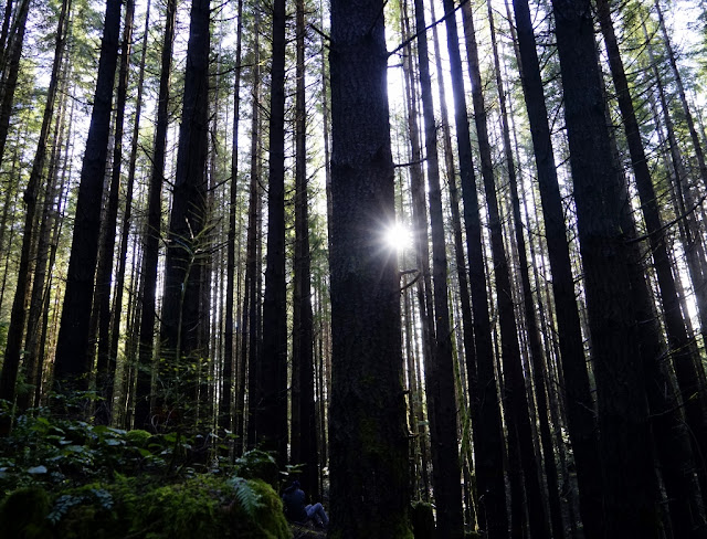
These 3,000+ acres of woodlands have been logged more than once, and active logging is going on now. But trees grow easily and more quickly in the lowlands than at higher elevations. We walked four hours through the woods without seeing a recent clearcut.

Parts of it were lovely, and parts were dark, scrubby young forest with monoculture trees packed close together. And be forewarned, it's easy to get lost.


"I've been lost a few times and had to call friends to help me navigate out,"  a woman with a group of mountain bikers doing trail maintenance told us. Heck, we had to backtrack on our first attempt to find the trail we wanted to hike. Most trails aren't signed.

She recommended using the Maprika app to track our location. Paul immediately downloaded it onto his Iphone, and good thing he did.  It helped us several times as we came to unmarked and unmapped forks in the trails and dirt roads. And don't forget a map and compass.


Hikers/walkers, the trails and usage seems much more mountain bike-focused. Some of the trail names on the map I downloaded should have given us a clue: Ankle Biter, Downhell, Lite Speed, Flash, Hyper Space, Bobsled, and Season of the Witch.

We saw a lot more mountain bikers than hikers, and had to step out of the way to let bikers pass a few times. But everyone was friendly.

 
But we were looking for solitude and quiet and found a lot of it. There's not old growth out here, at least the 5 or 6-ish miles we hiked, but we did pass a few lovely stretches of more mature forest with bogs and little wetlands.


Toward the end of our hike, we came to a fork that wasn't on my map and just guessed which way to go. After a while it seemed clear this wasn't the trail we thought we were on, and Maprika showed us off trail. Some mountain bikers told us my map was outdated. Ha! So if you're coming out here and downloading a map off the Internet, use this one.


After four hours of gentle hiking, with several breaks and lots of stops to doublecheck the map and app, backtrack, and ask directions, we got back to the Bay View Trailhead where we started. 


This area doesn't have the sizzle of a beautiful alpine lake or mountain top, but I say we should do all we can to save it from development.  A good, recent story in the Seattle Times talks about it in great detail, and long-term plans for forest management. I recommend giving it a read and then chipping in whatever you can.

Our Route
From the Bay View Trailhead, we walked Road 1000 to Ranger trail, Ranger to Road 1311 north (the most beautiful forest of the day) and looped back south on Road 1300, then skirted west on the Forbidden Forest trail, with a side trip out Road 1400, then down to Location 4 on Road 1000, then east on Downhell to Hood trail and right down the logging road to Location 3, then north up Road 1000 to Stumps trail and right down to the Bay View Trailhead. This doesn't indicate the several unmarked forks in the trails and roads that we mostly avoided thanks to Maprika.

After Hike Eats
Despite snacks while hiking, we were hungry after four hours of walking, so we headed a mile north to charming and historic Port Gamble General Store and Cafe for some chow.


We were too late for weekend brunch, but enjoyed their mostly locally sourced lunch fare. I had a healthful salad with seasonal veggies, Hilda had a fancy toast with raclette cheese and string fries, and Paul enjoyed the chowder with local clams. We agreed it was a tad pricey, but another cafe is opening soon up the street, so hopefully the competition will be good for pricing.


All in all an excellent day, and you can't beat riding a ferry home across Puget Sound if you're coming from the Seattle area. (I always love a ferry ride).


Happy trails and thanks for visiting Pacific Northwest Seasons! In between blog posts, visit Pacific NW Seasons on FaceBook, Twitter, and Instagram for more Northwest photos and outdoors news.   


When You Go
The Port Gamble Forest is on a northern finger of the Kitsap Peninsula west across Puget Sound from Seattle. We took a Washington State Ferry from Edmonds to Kingston north of Seattle (a 30-minute trip), but it's also accessible from the Bainbridge Island ferry that leaves downtown Seattle. The Bay View Trailhead is just a mile south of Port Gamble on Highway 104 (vicinity map here), only about 10 miles from the ferry landing in Kingston. There are no fees or permits required for parking. The Washington Trails Association recommends hiking north from this trailhead toward the Beaver Pond; we went south. Next trip I'll go north. I'd LOVE to about your experiences here in the Comments below.