With scenic islands and hundreds of miles of shoreline to explore in Puget Sound and the greater Salish Sea, it's easy to escape terra firma for a few hours or days. It's a different world out there on the sea. Quieter, rich in marine life and waterfowl.
One of my favorite destinations for a day or even just half day trip is upper Skagit Bay. It's not much more than an hour north of Seattle on the western edge of the Skagit River delta.
On my recent trip there, we'd passed through heavy fog on our way north from Seattle and discussed aborting to avoid paddling with poor visibility. But when we drop down into the Skagit Flats and get off I-5 at Conway, only tufts of fog remain.
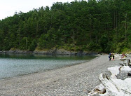
When we arrive at Snee-oosh Beach on the Swinomish Indian Tribal Community west of LaConner to launch around 9:30 Sunday morning, we're the only ones here. I love the quiet of Sunday mornings.
 |
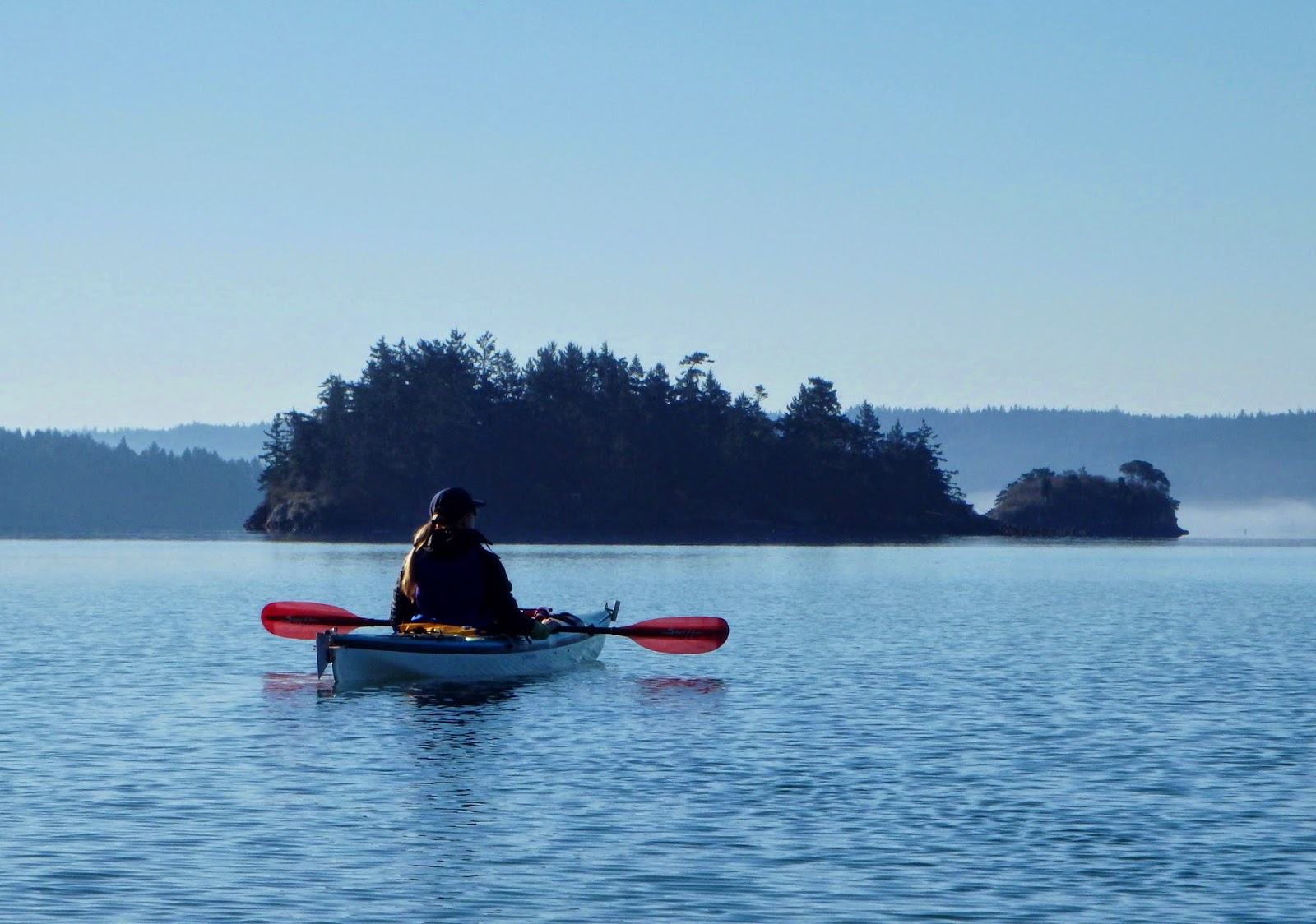
| Deadman and Little Deadman Islands in Skagit Bay |
As we're sorting gear and hauling our kayaks to the beach, I discover my life vest didn't make the trip up from Seattle with us. Not good.
However, because the sea is so calm, we decide to do a shorter paddle south to Deadman and Little Deadman islands and then stick close to the shorelines. (I've already blogged about kayaking north to Hope and Skagit Islands and Cornet Bay.)
Paddling south toward these small islands at low tide is tricky because this shallow area turns into mudflats (or tidal flats), the result of Skagit River deposits in the bay. Fortunately the tide is pretty high this morning.

So we shove off into the easy sea and stroke at a relaxed pace southward.
When we pull abreast of the eastern shoreline of Deadman Island, I look up and spot two big bald eagles perched in side by side trees just above us. (Always check the tops of trees and or snags in eagle country.) They quickly decide not to linger with us nearby. Those big eagle wings are surprisingly quiet as they fly away.

While circumnavigating Deadman Island close to the rocky shoreline, Julie notices an abundance of small mussels growing on the barnacle-encrusted rocks. I notice the lack of sea stars (aka starfish), which sadly suffered a massive die-off along the whole West Coast the last couple years. I assume no sea stars = more mussels and barnacles because a major intertidal zone predator is gone.

 |
| Little Deadman Island |

Of course we stop a few times to just hang and savor the unusually warm March day and soak up some sun. Up here in the Upper Left Corner of the USA, most of us are chronically low in Vitamin D.

So today's paddle was short and sweet. We're back at the beach in a little over an hour. But that gives us more time to make a few stops at some of my favorite places here in the Skagit.
 |
| Back at the beach too soon. |
We bypass touristy LaConner and stop at my current favorite place to grab a bite in the Skagit: Rexville Grocery, an old gas station converted to a gourmet grocery/cafe/community center.
We order half sandwiches and salads (I get turkey/provolone/pesto) and grab a spot at the counter where locals gather. Behind the counter, the new owner makes our meal. He tells us he's not going to change the current format but will add more goodies.

We consider an ice cream cone at Snow Goose Produce on our way back to I-5, but darn it, by 1:30 the line for their famous cones extends halfway back to Seattle. Well, not really, but it's too long for us to wait around. It's too early in the season for their also famous fresh local fish and spot prawns, but I snag some fresh chard, kale, and carrots.
All in all, a fun and relaxing day.
Have you kayaked/paddled in the area? Would love to hear about your trip(s) there under the Comments below!
Happy trails and thanks for visiting Pacific Northwest Seasons. In between blog posts check us out on FaceBook, Instagram, and Twitter for more photos and Northwest news.
When You Go
Drive to LaConner, WA, about 60 miles north of Seattle off Interstate 5, cross the Rainbow Bridge over Swinomish Slough. Just follow Snee-oosh Road from the church past Pull-and-Be-Damned Road and Sunset drive to Chilburg, where you turn left. As soon as the road drops down to the water level, take a quick left onto the dirt road to the boat launch /parking area, where you can park for free. Check the tides before you go since the currents can get pretty strong around the islands here and a low tide means tideflats that can restrict travel to the south. (It’s not fun carrying kayaks through sticky, mucky mudflats to get to the water.)


 Posts